Hello,
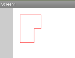
I have the image of the plan of a house with several rooms. The idea is that when selecting each one of the rooms a real image of it is displayed, added to a small description or a list of elements it contains.
Of all the options I see, I think the CANVAS would be the one.
if it wasn't the Canvas, what would be the best option?
and if it were, is there an example of how to implement the process?
I should know in advance what are the X and Y coordinates that delimit each room?
if so, would I have to previously generate an app to know these coordinates?
Another method would be to use a webviewer and create an image map for your image. This has the advantage of being more easily scrollable and zoomable. You then use the webviewstring to return what has been clicked (or develop the whole thing in html...)
Whichever route you choose, you will have to work out the coordinates for each room so that a user can click and get the image and other data to display.