Correct. You may either want to create Polygons to represent each 'city' or create a Map overlay using a FeatureCollection. See How to make a Map Overlay-Part I . Map Polygons are 'clickable' and can be used to either link to a Label or populate an MapInfobox.
Create Polygons for each of these areas on a Map Overlay
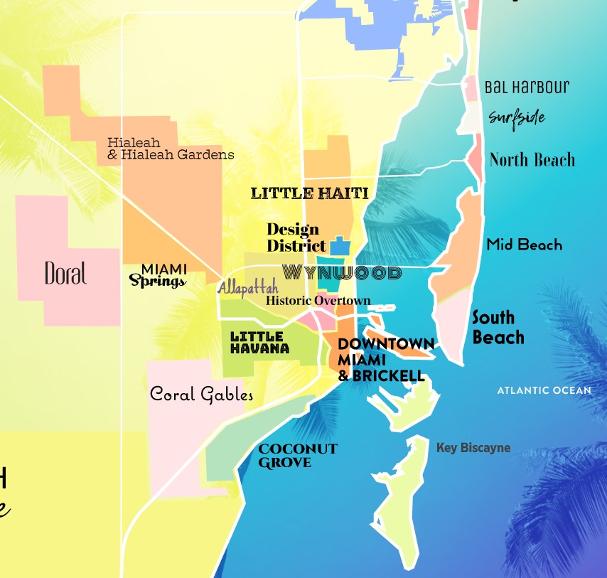
make the Polygons semitransparent and you are almost there. 
A Map is ideal actually.
However, you could also use the above graphic (from Miami Neighborhoods | Miami & Miami Beach) as the background to a Canvas and use the colors on the 'map' as hotspots. Here is a detailed discussion about how to recognize different background colors Button placement(How to use Canvas screen colors to create a Q&A Quiz