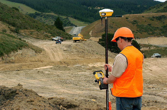
I want to build an RTK roverstab. I want to save points in a GeoJson file to display them on a map in a feature collection. Who can help me.
It is not clear what you hope to do Stefan.
What is a Roverstäbe (rover stick);
Is a Roverstab a trak marker, or a listing of location points? something like discussed here National Park Tutorial (Markers) updated
When you add Markers to a Map, you automatically create a Feature Collection that contains the Marker coordinate. The Feature Collection is a geojson.
What have you tried? Sharing what you tried should help us understand what you want to do and why.
So far I've dynamically created markers and saved them as CSV when I exit the app. And then loaded again when you open it. But I would also like to save polygons and lines.
Use the Polygon and LineString map tools.
This tutorial may also be useful regarding markers HOW TO: Set Runtime Map Marker Characteristics using a CSV file
The aim is to create a project file (GeoJson) for each construction site or to open third-party Geojson files in order to then find points on the map. First, I'm looking for a way to insert points, lines, and polygons into an existing Geojson file that I've loaded into a feature collection. And then save them.
