MIT App Inventor Community
Map and buttons
MIT App Inventor Help
maps
SteveJG
August 25, 2021, 5:14pm
9
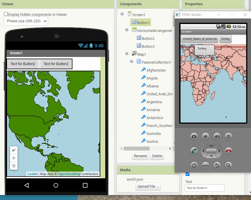
worldGEOJSON
856×682 121 KB
as described here
This uses as ListViewer... no Buttons but it works.
1 Like
show post in topic