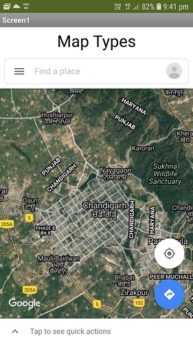
The satellite map is not available or updated, I would like to know if there is any way to load a map from some external server to MIT App Inventor?
What format is the map in - can it be exported to an image file or html ?
Yes, this is the map that I want to use, but it is not available, in the MIT designer it is not possible to view it, nor on the phone. Do you know if it is only available in some parts of the world? I'm from mexico.
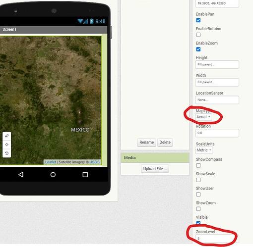
The satellite images at all magnifications are not available using the MIT Map component which uses the OpenStreetMap tile set. The OSM tileset does provide aerial images ... This is Mexico City with an Aerial map setting at a 8 tile zoom. OSM does not provide images at all tile sizes. In this case tiles 9+ are not available for this area.
The image provided by Anup is made on a Google Map and satellite images of Mexico City are available, but you must use a Google Map
. To show an image using GoogleMaps, you can use Google Static Maps (but you need to register to obtain access to their api) and display satellite maps or use the ActivityStarter to display the Google Map app and view the map that way.

