BingMap extension, for those who can not access google map service (like me), or those want to try other options.
GET A KEY
See HERE for how to get a KEY.
PROPERTIES

Property names are self-explained.
FUNCTIONS
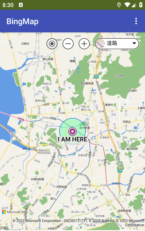
Show Bing map in a layout(arrangement)
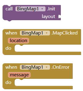
Set center or zoom of the map,
which will fire MapViewChanged event.
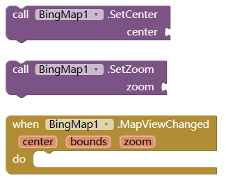
| property | type | meaning |
|---|---|---|
| center | List | center of map, [lat, lng] |
| bounds | List | [north,west, south,east] |
| zoom | Number | zoom level, 1-19 |
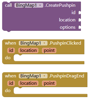
Pushpin
| property | type | meaning |
|---|---|---|
| id | String | unique id for this pushpin |
| location | List | coordinate to show the pushpin, [lat,lng] |
| point | List | location in pixel, [x,y] |
| options | Dictionary | custom property, can be any of below |
| --title | String | main text |
| --subTitle | String | sub text |
| --text | String | text showing on the pin |
| --color | String | color of the pin, like red, or #00ff0000 |
| --draggable | Boolean | if the pin draggable, default to false |
| --icon | String | can be like pin1.png, or base64 string |
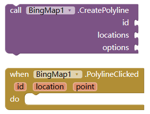
Polyline
| property | type | meaning |
|---|---|---|
| options | Dictionary | custom property for polylin |
| --strokeColor | String | color like red, or #00ffff00 |
| --strokeThickness | Number | thickness of the line |
| --strokeDashArray | List | A List representing the stroke/gap sequence to use to draw the polyline. For example, [1, 4, 2, 1] would draw the polyline with a dash, four spaces, two dashes, one space, and then repeated. |
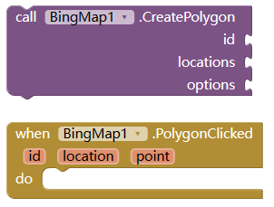
Polygon
| property | type | meaning |
|---|---|---|
| locations | List | list of location |
| options | Dictionary | to customilize the polygon |
| --fillColor | String | as explained above |
| --strokeColor | String | as explained above |
| --strokeThickness | Number | as explained above |
| -strokeDashArray | List | as explained above |
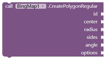
Regular Polygon
| property | type | meaning |
|---|---|---|
| center | List | coordinate of the center |
| radius | Number | length from center to the sides |
| sides | Number | how many sides of the polygon |
| angel | Number | degree to rotate the polygon |
| options | Dictionay | as descripted above |
Remove shape(s)
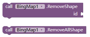
Delete shape (pushpin, polylin, polygon).
Infobox
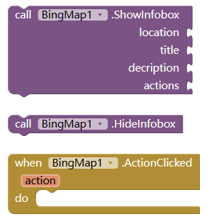
Show or hide a Infobox on map
| property | type | meaning |
|---|---|---|
| location | List | coordinate to show the infobox |
| title | String | title of the box |
| description | String | content of the box |
| actions | List | buttons text which is clickable, and will fire ActionClicked event |
Calcuate Route
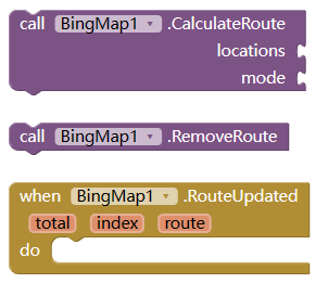
Calculate a route and show on the map. and if success, this will fire routeUpdate event.
| property | type | meaning |
|---|---|---|
| locations | List | locations on the route, the first as starting point, the last as destination, others (if any) as midway point |
| mode | String | type of the route, one of "driving", "transit", "truck", or "walking" |
| total | Number | how many route totally got |
| index | Number | which route now selected |
| route | String | route detail, jsonarray format. User need to parse this with Dictionay |
GeoEncode/reverse Geoencode
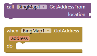
Change location [lat,lng] to address
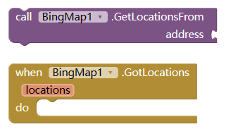
Change address to locations, since there are maybe more than one locations with same address name.
GeoJson
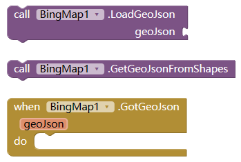
operation about geoJson String.
Distance
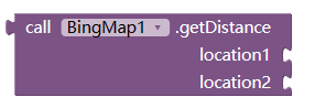
Calcuate distance between 2 locations.
OTHER
For more information, please refer to HERE)