Hola buenas. Estoy comenzando con una aplicación y quisiera saber si se puede crear una base de datos en la que los usuarios comparten ubicaciones entre todos. Graxias
Welcome Diego.
Yes, you can use a GoogleSpreadsheet along with a Map component or use a CloudDB or FirebaseDB with the Map.
Here is an example using the CloudDB Social Distancing ... a CloudDB / Location Marker Tutorial showing how to share locations among individuals who have the app.
Is this what you want to do Diego?
No es exactamente eso, pero m vale porque si eso es viable, lo que quiero yo también. Es que pueda acumular ubicaciones asociadas a fotos en un mapa que otros usuarios puedan verlas. Muchas gracias Steve porque soy muy nuevo en esto y autodidacta jeje. Gracias.
OK.
You might be interested in the Map Tour tutorial and Map Tour part2 or something similar (see videos ). The translation of what you want to do was not very clear.
Where do the photos come from and how do you expect to get them? Do you want to place (insert) the photos on the map or capturer existing photos like the Map Tour tutorial shows?
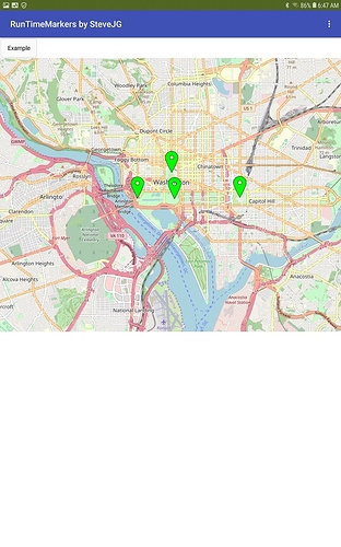
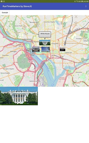
If these are your own photos, you might want to do something like this example
. The app displays thumbnail images as CustomMarkers on a Map component. This technique was described in part here > (Map) Runtime markers .The images and and thumbnails are stored in the device Media in this example and displayed using an Image component and Map Markers. The images and corresponding coordinates for the images could alternatively be stored on a server, a Googlesheet (using advanced techniques and Google Drive) or in a FirebaseDB or CloudDB if you use more complex coding.
Good luck Diego.
Si, sería algo como lo de el último ejemplo. El usuario haría fotos asociadas a ubicacipnes que otros usuarios podrían ver. Gracias

