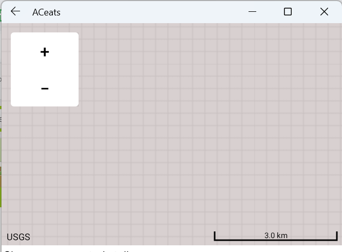
I just added the map component and for some reason I can't zoom in

I have internet connection.
its only when i zoom out to a certain extent then the map will load how to fix thanks
I just added the map component and for some reason I can't zoom in

I have internet connection.
please show an image of your Blocks. The first image you post happens when an OSM tile cannot be found. That can happen for a variety of reasons. Possibly you clicked on the + or - too rapidly. Maps can only be zoomed in only so much; perhaps you exceeded what is possible with the tile set osm provides in your part of the world.
The fix may be as simple as deleting the Map component and then adding it back in to your Project.
I think I found the cause of this problem I set the MapType to Aerial but Aerial doesn't work in my city (weird cos its densely populated) when zoomed in but when I switch to Roads it works
not weird, the tile sets osm uses in some regions are based on aerial photographs in lieu of satellite images in other regions. This means Map Aerial type tiles haves lower highest zoom limit than the Roads. This is why you saw the image pattern that results when a tile cannot be found on the OSM server App Inventor uses to render map tiles. Aerial tile coverage for some regions is limited compared to others.
Thanks for posting the 'solution' to your issue.
This topic was automatically closed 7 days after the last reply. New replies are no longer allowed.