Hi,
I noted that the aerial maps for Europe (in my case Munich) are of quite low quality (resolution). Is there a way to deal with this problem?
Thanks for any advice you may have.
gros_ibou
Hi,
I noted that the aerial maps for Europe (in my case Munich) are of quite low quality (resolution). Is there a way to deal with this problem?
Thanks for any advice you may have.
gros_ibou
The terrain and aerial layers we use are currently provided by the US Geological Survey. This likely explains the lack of detail/availability in your area and elsewhere. At the moment, we don't have a way of providing alternative tile servers in the Map component, but maybe there is an extension (or author willing to create one) that would allow for this.
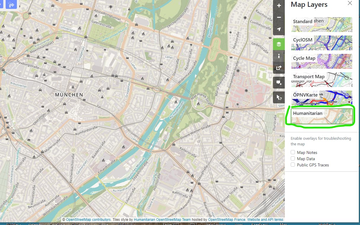
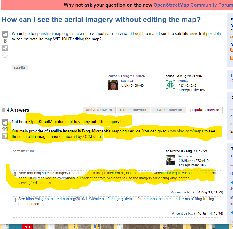
I am not sure that I understand. The aerial maps available at www.bing.com/maps are easily good enough for what I need. Can these be somehow used?
Thanks
gros_ibou
Not with App Inventor's Map tool.
You can try this solution to viewing Bing maps on App Inventor