3.- Map. Check if a point is inside a polygon on a map. Geofence.
p251_geofenceJavaScript_Mapa.aia (4.4 KB)
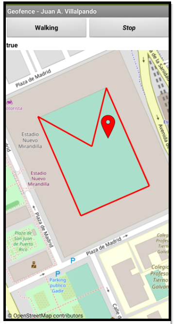
- We draw a polygon in a Map using LineString.PointsFromString, note that the initial and final coordinates are the same so that the polygon closes:
LineString.PointsFromString=[[36.50318,-6.27281],[36.50226,-6.27231],[36.50198,-6.27311],[36.50291,-6.27361],[36.50263,-6.27298],[36.50318,-6.27281]]
- We set the check polygon with these coordinates:
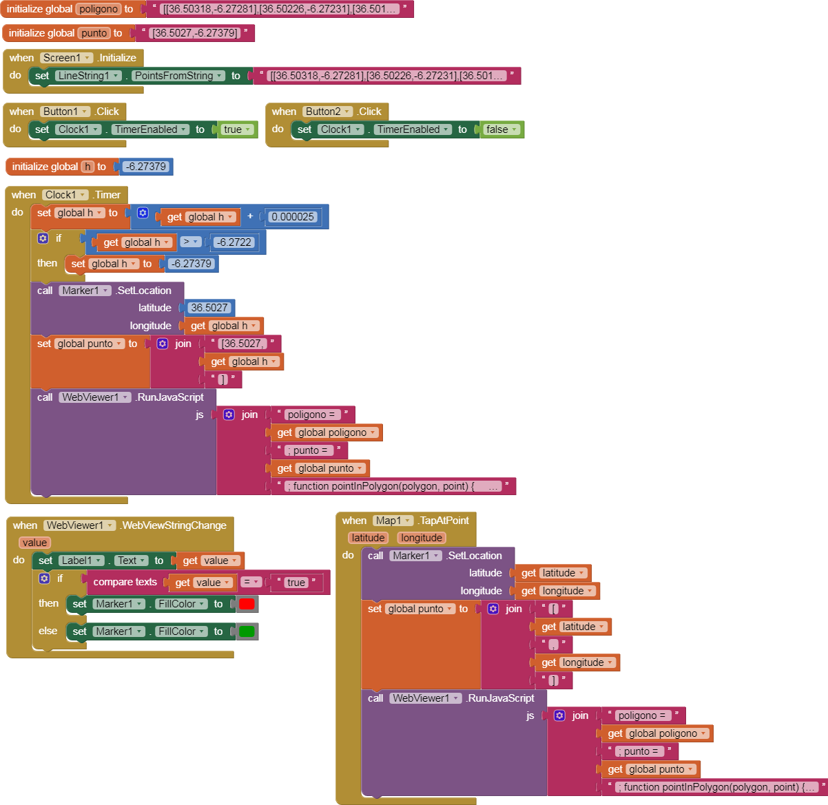
poligono = [[36.50318,-6.27281],[36.50226,-6.27231],[36.50198,-6.27311],[36.50291,-6.27361],[36.50263,-6.27298]]
- We move by means of a Clock, a point horizontally:
punto = [36.5027,h]
- We can stop the Clock using "Stop" and tap on the map, using the TapAtPoint block we can see if the point is inside or outside the polygon.
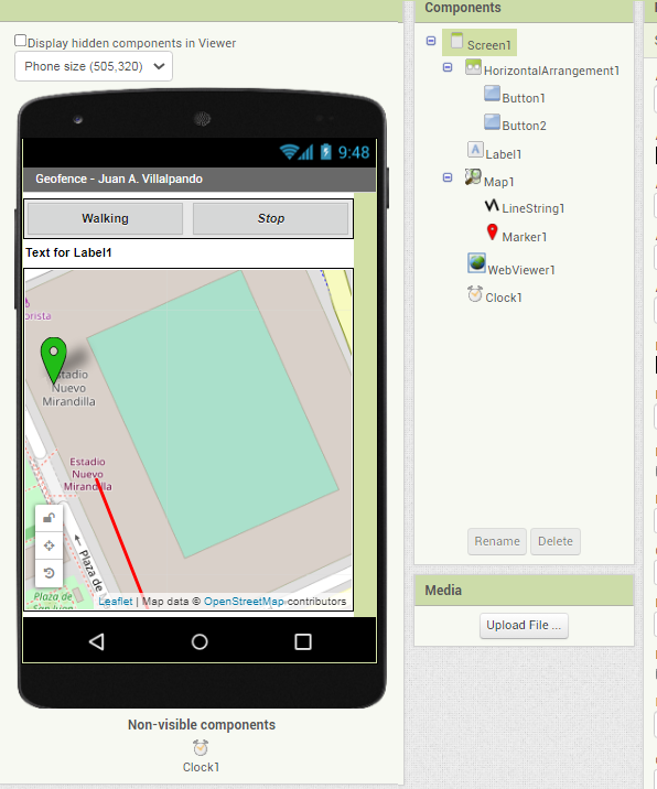
- Designer.
- Blocks.
- Comments.
-
It also works if we set the query polygon by repeating the initial coordinate at the end:
poligono = [[36.50318,-6.27281],[36.50226,-6.27231],[36.50198,-6.27311],[36.50291,-6.27361],[36.50263,-6.27298],[36.50318,-6.27281]] -
The code returns a String "true" or "false".